
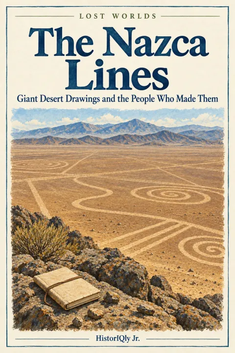
The Nazca Lines
Giant Desert Drawings and the People Who Made Them
Imagine flying over southern Peru and spotting a long line, then a spiral, then an animal-shaped figure on the desert below. Paul Kosok’s work on ancient irrigation helped bring attention to the Nazca geoglyphs in the 1940s. Their designs can be investigated from the ground as well as from above.
Local people knew the landscape, and some designs could be seen from hills. Aerial photography added a useful new viewpoint.
The people who made them had no aeroplanes. They had no way to fly at all. So why did people create such large designs — and why?
200 sq mi
The Nazca Lines cover an area of nearly 200 square miles of Peruvian desert — bigger than the city of New Orleans. Hundreds of lines, geometric shapes and figures mark the ground; new surveys continue to expand the inventory.
300 feet
Longer than a Boeing 747 jumbo jet.
2,500 years
The oldest lines date to approximately 500 BCE.
<1 inch/yr
The extreme dryness preserved the lines for millennia.
The Evidence
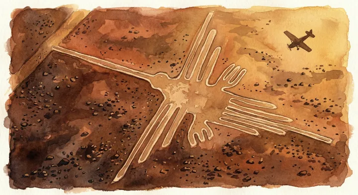
Giant Geoglyphs
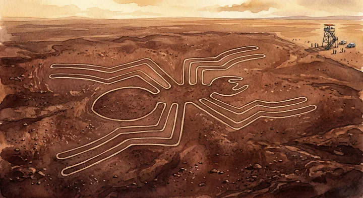
Hummingbirds, spiders, monkeys and other figures form part of a much larger inventory. Large aerial views and smaller ground-level views offer different clues. The Nasca people who made them had no aircraft of any kind.
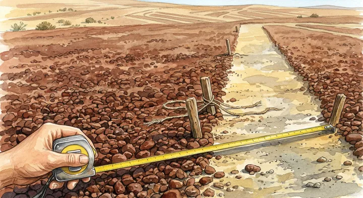
Cleared Stones
The lines were made by removing dark, iron-oxide-coated surface pebbles to reveal lighter ground beneath. Wooden stakes and pottery fragments found at the site confirm the Nasca people were responsible.
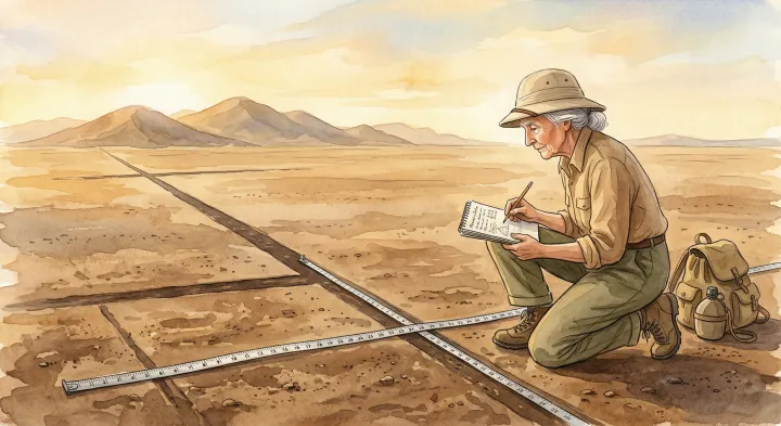
Maria Reiche's Lifework
German mathematician Maria Reiche spent over fifty years studying and protecting the lines. She mapped over a thousand markings and believed they formed an astronomical calendar. Peru gave her a state funeral when she died in 1998.
How the Mystery Unfolded
The Lines Begin
The Nasca people begin creating geoglyphs in the desert of southern Peru. The earliest figures are small — visible from nearby hills. Over centuries, they grow larger and more ambitious.
The Golden Age
The Nasca civilisation reaches its peak. Cahuachi becomes a major ceremonial centre. The most famous geoglyphs — the hummingbird, spider, and monkey — are likely created during this period.
The Collapse
The Nasca civilisation declines — likely due to drought, deforestation, and environmental collapse. The people scatter. The lines are abandoned. The desert preserves them.
First Modern Sighting
Peruvian archaeologist Toribio Mejía Xesspe notices the lines while hiking in the foothills. From the ground, they look like paths. He presents his findings in 1939.
The Aerial Discovery
Paul Kosok investigates the geoglyphs while studying ancient irrigation. He explores possible solar alignments; an alignment proposal needs testing against the full pattern of lines.
The Alien Theory
Erich von Däniken publishes Chariots of the Gods?, claiming the lines are alien landing strips. The book becomes widely popular. Scientists disagree — but the public is captivated.
World Heritage Site
UNESCO designates the Nazca and Palpa Lines as a World Heritage Site, granting them international protection.
AI Discoveries
A 2024 study reports 303 new figures confirmed through fieldwork after an AI-assisted survey. Many small figures occur near trails.
The People in This Story
Maria Reiche
A German mathematician who spent over fifty years studying and protecting the Nazca Lines. She mapped hundreds of figures, slept in the desert to guard them, and believed they were an astronomical calendar. Peru named an airport after her.
Paul Kosok
An American historian whose irrigation research helped bring the geoglyphs wider attention. He investigated their possible astronomical significance.
Erich von Däniken
A Swiss hotel manager who claimed the Nazca Lines were alien landing strips in his 1968 bestseller Chariots of the Gods?. Scientists dismissed the theory, but the book became widely popular and made the lines world-famous.
The Question That Remains
We know who made the lines. We know how. We know when. But we still don't know why.
Were the Nazca Lines an astronomical calendar, a prayer for water, a pilgrimage path, or a message to the gods? After eighty years of investigation, the answer is still genuinely open.
Read the full book to investigate the key clues and competing explanations — then decide for yourself.
Get the Full Book
The complete Nazca Lines mystery. 9 chapters of evidence, theories, and a question only you can answer.
Part of the Lost Worlds Volume
Ancient cities, remarkable structures, and the communities who built them. Explore the evidence and the living histories behind the ruins.
See all books in this volume →Keep investigating
Check the evidence
What the evidence supports
People in the Nasca and Palpa region made a large landscape of lines and figures over many generations. UNESCO describes its ritual and social significance.
Where to be careful
There need not be one purpose for every mark. Aerial views help us see large designs, but do not show that aircraft were needed to make them.
Explore the sources
These selected sources support this guide and offer further reading. Some are written for adults; explore them with a parent or teacher.
The story and illustrations are modern retellings. Imagined scene details are not historical evidence. These sources are a starting point, not citations for every narrative detail.
Evidence guide reviewed 8 September 2026.